
The Living Architecture of Flowing Water
A river is never simply moving from one place to another. Across the Ogmore catchment, water accelerates over gravel, slows beneath wooded banks, curls around bridge footings, and spreads across shallow margins before meeting the estuary. For anglers, walkers, and anyone navigating a riverside path, these changes form a readable landscape. The most useful clues are often visible without a depth finder, map app, or other electronic aid. A broken foam trail, a darker tongue of water, or a narrow strip of glassy surface can reveal what is happening below.
That matters because fish do not choose a lie at random. Their position reflects a practical calculation between energy spent resisting current and food gained from the water. The same principle helps explain why a trout may sit beside a fast riffle rather than in its centre, or why fish move tight to a bank during a spate. Learning to read those choices turns surface detail into a working map of submerged depth, shelter, and velocity. The approach is closely aligned with the natural-navigation tradition described in How To Read Water, where small changes in movement are treated as evidence rather than decoration.
The Bioenergetics of Stream Life
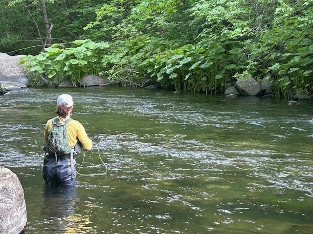
Every fish in flowing water pays an energetic price. Holding station against current requires muscular effort, and the cost rises rapidly as velocity increases. A fish therefore seeks a position where the likely caloric return from drifting insects, small fish, or other prey justifies the effort of remaining there. The best lies are rarely the places with the greatest current. They are usually transition zones, where a fish can remain in relatively quiet water while watching or intercepting food delivered by faster flow.
This is why the edge of a riffle, the downstream side of a boulder, or the inside margin of a seam can be more valuable than an apparently richer section of open water. A trout may face upstream from a pocket of reduced velocity and make brief feeding movements into the current, returning to shelter after each interception. The pattern is also useful for river navigators. Calm-looking water beside a powerful tongue may be an eddy rather than a safe shallow, while a smooth patch can conceal substantial depth.
- Low-energy lies reduce the constant cost of resisting current.
- Seam margins provide access to food moving through faster water.
- Cover from stones, undercut banks, roots, or shade reduces exposure to predators.
- Seasonal temperature changes alter both fish metabolism and their willingness to occupy fast water.
Season changes the calculation. In cold conditions, fish metabolism slows, and they often favour deeper, steadier water where energy expenditure is limited. As water warms, feeding activity can increase, but excessively warm water also raises physiological stress and makes dissolved oxygen more important. During summer baseflow, oxygen-rich riffle crests and shaded current tongues may become disproportionately valuable. In autumn, increasing flows and spawning behaviour can move fish toward gravel runs and structured margins, although the exact pattern depends on species, river level, water temperature, and local regulations.
Deconstructing the Anatomy of a Current Seam
A current seam is a boundary between water masses moving at different speeds, and sometimes in different directions. The meeting line is a zone of shear, where friction creates turbulence and floating material gathers. It may be sharply defined in a narrow channel or diffuse across a broad glide. To the eye, it can appear as a foam line, a ribbon of polished water, a faint line of bubbles, or a sequence of tiny rotating eddies.
Surface appearance must be read in relation to the banks and channel shape. A straight, persistent foam line often marks the boundary between a faster central flow and slower water near the margin. A slick ribbon may indicate a smooth acceleration over a deeper tongue, while a broken series of bubbles can expose submerged irregularities. Watch several objects rather than one leaf. If leaves, foam, and twigs all follow the same path, the pattern is more reliable than a momentary disturbance caused by wind.
| Seam type | Visible signs | Likely underwater feature | Why it matters |
|---|---|---|---|
| Bank seam | Foam or leaves track close to the edge | Slow margin beside a faster channel | Efficient holding water with food delivery |
| Riffle seam | Broken surface, bubbles, converging tongues | Shallow gravel and uneven bed levels | Oxygenated feeding water |
| Eddy seam | Rotating foam, reverse drift, curved slick | Recirculation behind an obstruction or bend | Low-energy refuge and trapped food |
| Pool tail | Surface narrows and quickens downstream | Deep pool draining into a run | Concentrated current and predictable fish travel |
The most productive seam is often not its centre but its quieter inside edge. A fish can face into the faster water, monitor drifting prey, and retreat a short distance when threatened. Look for the place where surface debris hesitates, changes angle, or disappears. That point may mark a submerged shelf, a depth break, or a small converging current. On rivers such as the Ogmore, changing light, overhanging vegetation, and the presence of stones can make seams subtle, so observation from a stable bank is usually more informative than immediately stepping into the water.
Submerged Obstacles and the Cushion Effect
Water approaching a boulder, ledge, or submerged shelf cannot pass through solid material. Pressure therefore rises on the upstream face, creating a zone of slower water commonly called a pillow. The surface may bulge slightly, brighten, or form a smooth wedge immediately before the obstacle. Around the sides, flow accelerates through narrower passages. Behind the obstruction, separated flow can produce a wake, an eddy, and a low-pressure region where water folds back or becomes markedly calmer.
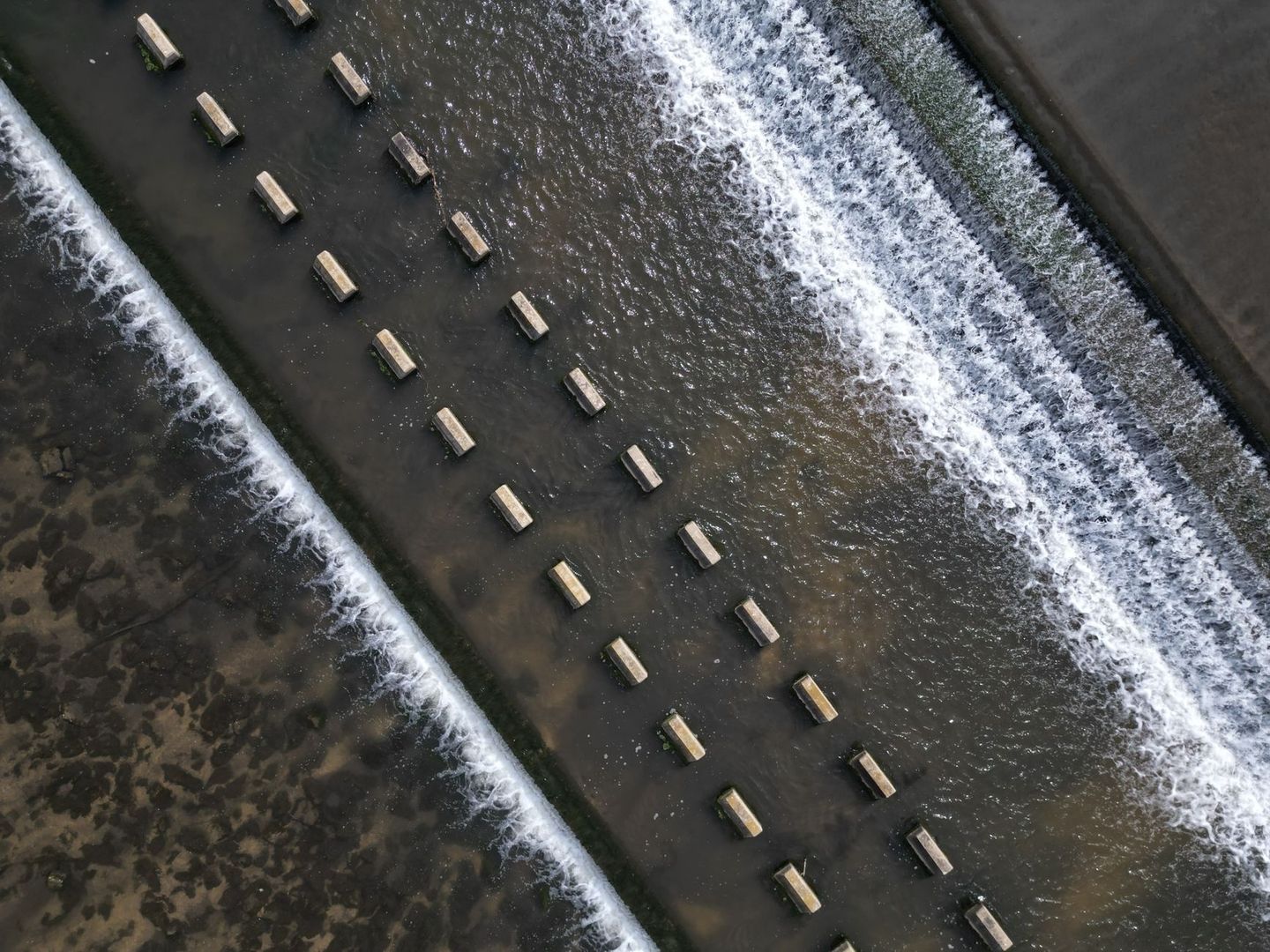
These features are three-dimensional, not flat marks on the surface. A large stone may create a comfortable pocket at one depth and dangerous turbulence at another. A line of boulders can form a compound complex, with several cushions upstream, narrow chutes between stones, and rotating pockets downstream. Kayakers and waders must treat these areas carefully because apparently quiet water behind an obstacle can conceal strong recirculation. The discipline of observing wave shape, eddies, obstacles, and slack water is shared by river users across activities, as illustrated in this account of reading water in rivers and seas.
- Start upstream. Identify the fastest visible tongue and note where it divides around the obstacle.
- Find the pillow. Look for the slight upstream bulge or smooth patch where pressure builds.
- Trace both shoulders. Narrow, bright channels beside the stone often indicate accelerated flow.
- Inspect the wake. A darker, quieter patch downstream may contain an eddy or a deep scour pocket.
- Search the seams. Fish commonly use the boundary between the sheltered pocket and the food-bearing current.
Pocket water deserves a deliberate scan rather than a quick glance. Begin with the largest visible obstruction, then work outward to smaller stones, submerged shelves, and bank irregularities. Notice whether bubbles pass cleanly through, stall in a circle, or vanish behind a lip. A pocket with a distinct supply line is usually more significant than a dead patch with no food delivery. For safe access, avoid standing on unstable stones, never assume calm surface water is shallow, and be especially cautious after rain when the river level and force can change quickly.
Seasonal Fluctuations and Shifting Hydraulic Holding Zones
River structure changes with discharge. During high runoff, increased depth and velocity can make the centre channel energetically expensive and physically hazardous. Fish often move toward bankside relief, flooded margins, slack water behind trees, and secondary seams where the current is moderated. Freshly inundated edges may also carry terrestrial insects and organic matter, creating feeding opportunities close to cover. A swollen river can look uniform from a bridge, yet its margins may contain several distinct bands of speed.
At summer baseflow, the pattern can reverse. Shallow margins may become too warm or too exposed, while riffle crests and narrow chutes provide cooler, oxygenated water. Clear conditions make fish more cautious and increase the value of shade, depth, and broken bottom. Coloured water after rain hides some visual detail but can make foam lines, boils, and current boundaries easier to detect. The empty metadata of a post showing a swollen Maumee River cannot establish particular hydraulic facts, but the general lesson remains sound: river level should be observed directly rather than inferred from a single photograph or familiar landmark.
- After heavy rain: check bankside slack water, inside bends, flooded vegetation, and secondary channels.
- During clear summer low water: prioritize shade, depth changes, oxygenated riffles, and discreet observation.
- In autumn: inspect gravel runs, pool tails, and deeper holding water, while respecting spawning areas and local rules.
- In winter: focus on stable pools, slow edges, and sheltered lies where energy costs are reduced.
Water clarity should change the way you observe. In clear water, stand well back, keep a low profile, and allow the river to settle before interpreting movement. In coloured water, use floating debris and surface texture as the primary evidence, then compare several sections of bank to identify the dominant flow. Weather also matters. Wind can create false slicks and surface ripples, while low sun reveals shadows from shelves and boulders that disappear under flat cloud. A few quiet minutes spent watching upstream and downstream often reveals more than hurried movement along the bank.
Stepping Up to the Bank with Fresh Eyes
Reading a river is the practice of combining clues. Surface foam indicates transport, but its path becomes meaningful only when compared with bank shape, water colour, depth, turbulence, and visible cover. A dark lane beside a bright riffle may mark a pool edge. A stationary patch of bubbles may sit over an eddy. A smooth tongue entering broken water may reveal a deeper run beneath the surface. Build these observations into a mental map that extends from the bank to the likely bed profile.
The most useful habit is patience before commitment. Stop above the section, watch the drift of several floating objects, identify the quiet water beside the main current, and consider how water level has altered the familiar structure. Only then choose a safe viewpoint, wading position, or casting angle. River literacy is not a replacement for local regulations, weather checks, suitable footwear, or caution around slippery banks and fast water. It is the skill that makes those precautions meaningful. With practice, every foam line, cushion, and rotating eddy becomes part of the river’s visible language, allowing the Ogmore and other flowing waters to be approached with greater understanding and respect.